
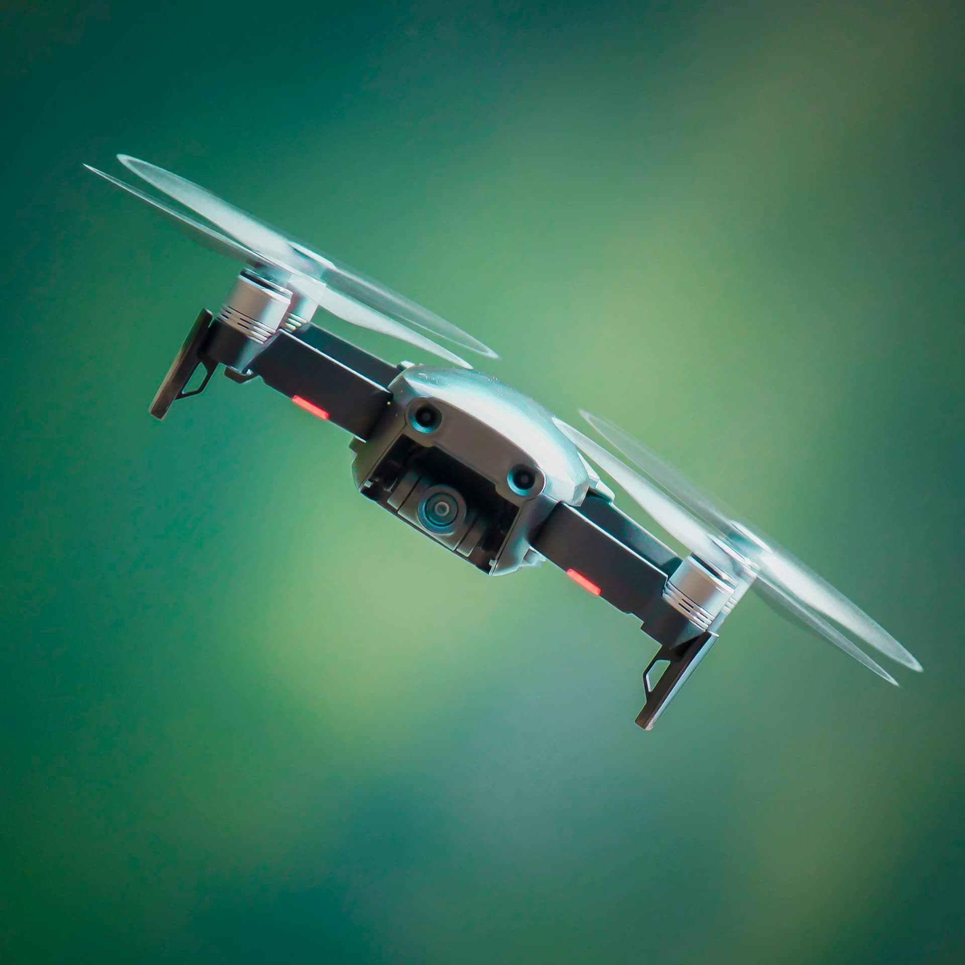
Why Drone Technology Matters
Drone technology is reshaping how Africa's industries operate, from surveying vast mining concessions to inspecting power lines, spraying precision pesticides, and delivering medical supplies to remote communities. AdvaIoT's drone services division provides end-to-end UAV capabilities backed by certified operators and advanced drone platforms.
We operate fixed-wing and multi-rotor drones for agricultural spraying, topographic mapping, infrastructure inspection, security patrol, environmental monitoring, and last-mile logistics. Every mission is planned, executed, and delivered with precision data products that inform better decisions.
With coverage across East, West, and Southern Africa, AdvaIoT drone teams have completed missions for agriculture, mining, construction, telecoms, oil & gas, and government clients, delivering data that saves time, money, and lives.
At a Glance
- 500+
- Missions completed
- 50K+
- Hectares surveyed
- 15+
- African countries
Capabilities
Aerial Survey & Mapping
High-resolution photogrammetry, LiDAR, and 3D mapping for engineering, planning, and resource management.
Agricultural Spraying
Precision crop spraying with GPS-guided multi-rotor drones, reducing chemical use by up to 40% versus ground equipment.
Infrastructure Inspection
Power line, pipeline, tower, solar array, and building inspection using thermal and visual cameras.
Security & Surveillance
Autonomous patrol routes, intrusion detection, and live video feeds for perimeter security and event monitoring.
Last-Mile Delivery
Medical supply, blood product, and emergency cargo delivery to remote or difficult-to-access locations.
Our Process
Mission Brief
We scope the mission, assess airspace requirements, and obtain necessary regulatory approvals for your location.
Flight Planning
Detailed flight paths, camera calibration, and safety protocols are configured for optimal data capture.
Mission Execution
Certified drone pilots execute the mission with real-time monitoring and safety oversight at all times.
Data Delivery
Processed maps, 3D models, inspection reports, or agronomic analysis are delivered within agreed timelines.
Built for East African Operations
- Certified drone operators with multi-country aviation authority approvals across Africa
- Advanced drone fleet including agricultural, mapping, and inspection-specialized UAVs
- Full data processing capability, raw imagery to actionable insights and reports
- Integrated with AdvaIoT's smart farming and monitoring platforms for continuous intelligence
Client Impact

38% fuel savings across a 120-vehicle fleet
A Nairobi logistics company eliminated fuel theft and idle time with real-time GPS tracking and AI-powered driver scoring.
38%
Fuel savings
120
Vehicles
6 mo
ROI